
Hiking to Rodica’s Peak in the Julian Alps
While staying in Bled, Slovenia we were excited to head to the mountains and do a little hiking. The scenery in Slovenia is beautiful, especially in this area, so we were looking forward to heading up the mountains for even better views.
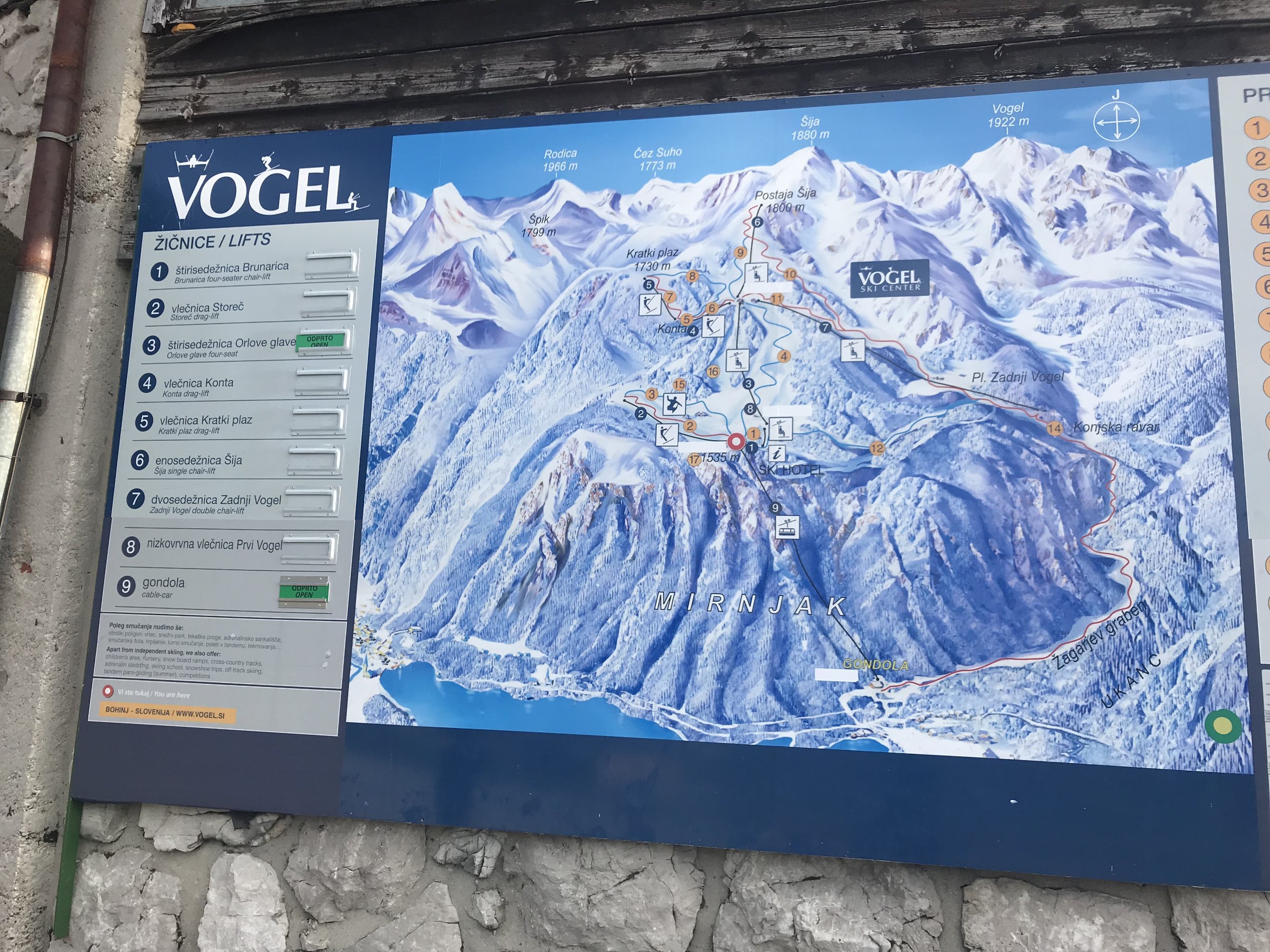
After looking at a few resources, we landed on a hike to Rodica’s Peak. Mount Rodica is the highest summit on the south side of Lake Bohinj and on a clear day you can see as far as the Adriatic Sea when you’ve reached the top! At around 13km it also seemed right in the range of what we wanted to hike, so made our way to Bohinj.

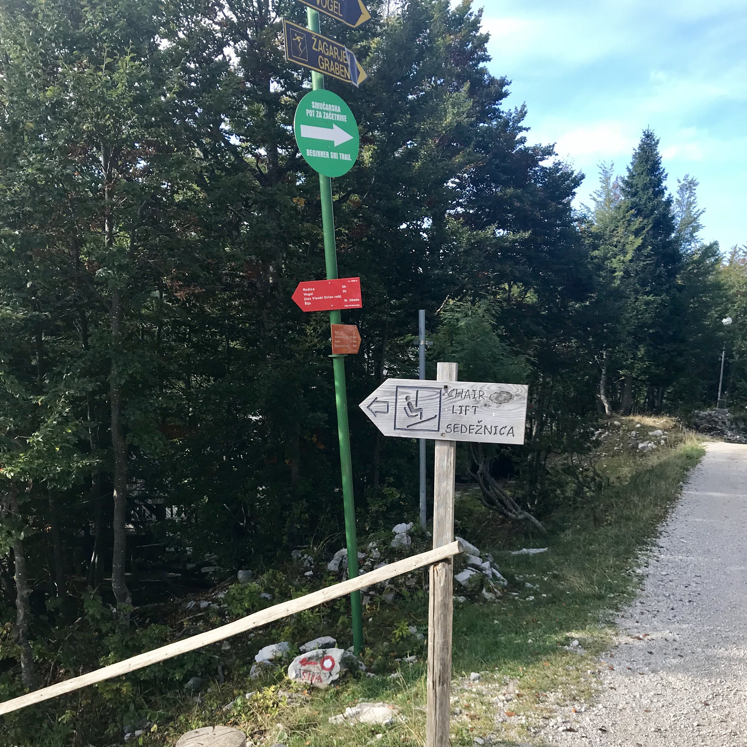
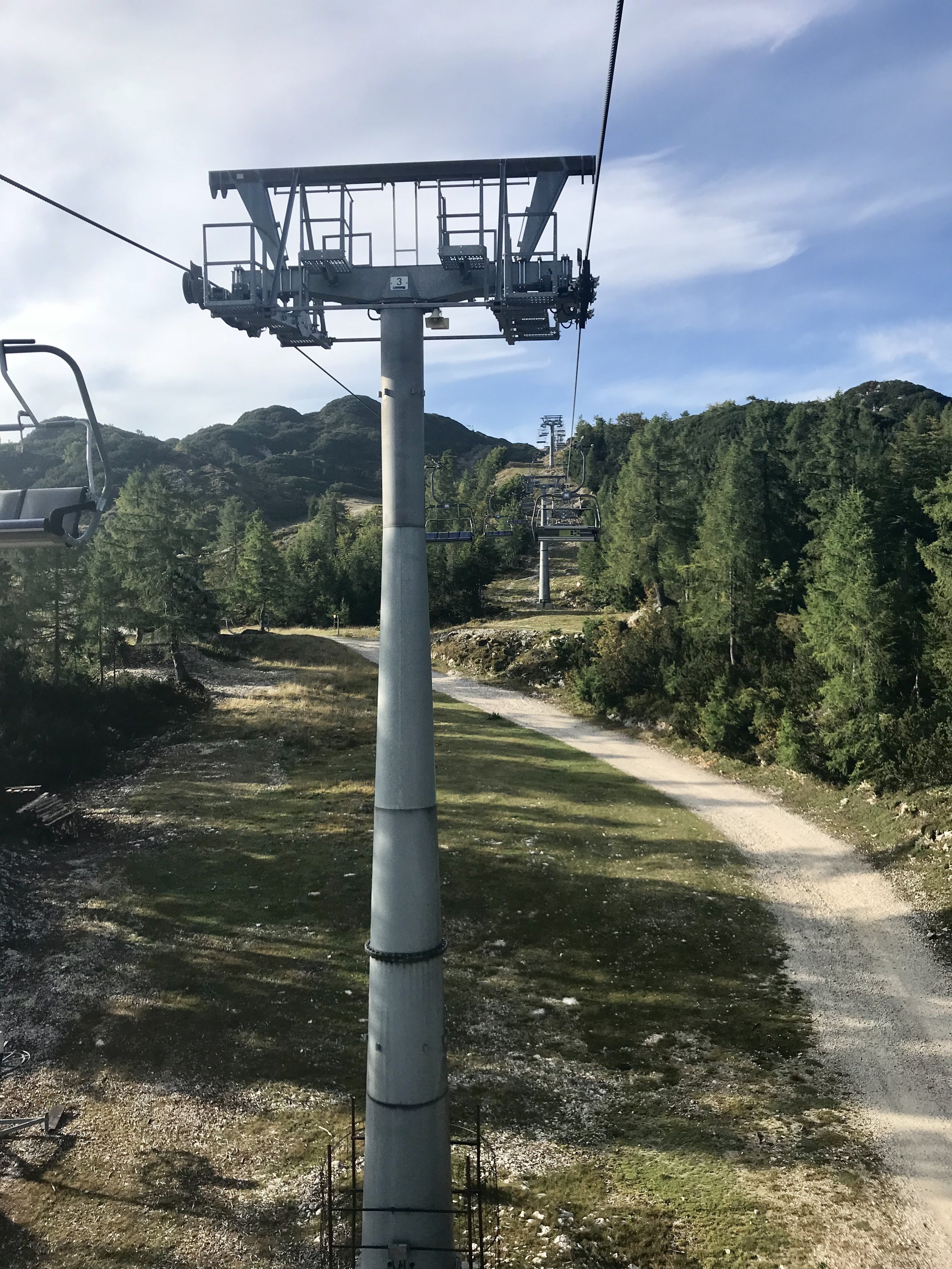
To start the hike, we walked about 100m down the gravel road, away from the main lodge, and headed left down a steep hill to a chairlift. At this point there are signs pointing towards Rodica, Vogel, and Šija hiking trails. When hiking to Rodica’s peak you have two options at this point – you can start the hike here by walking under the Orlove Glava chairlift, or you can take the Orlove Glava chairlift up to the next section. The chairlift was operational, so we decided to take the chairlift. This part of the hike isn’t overly scenic, as you walk on a utility road the whole way under the chairlift. At least from the lift we got to see some more views, which made us excited for our hike! The cost of the chairlift was also included in your cable car ticket, which is a huge plus.
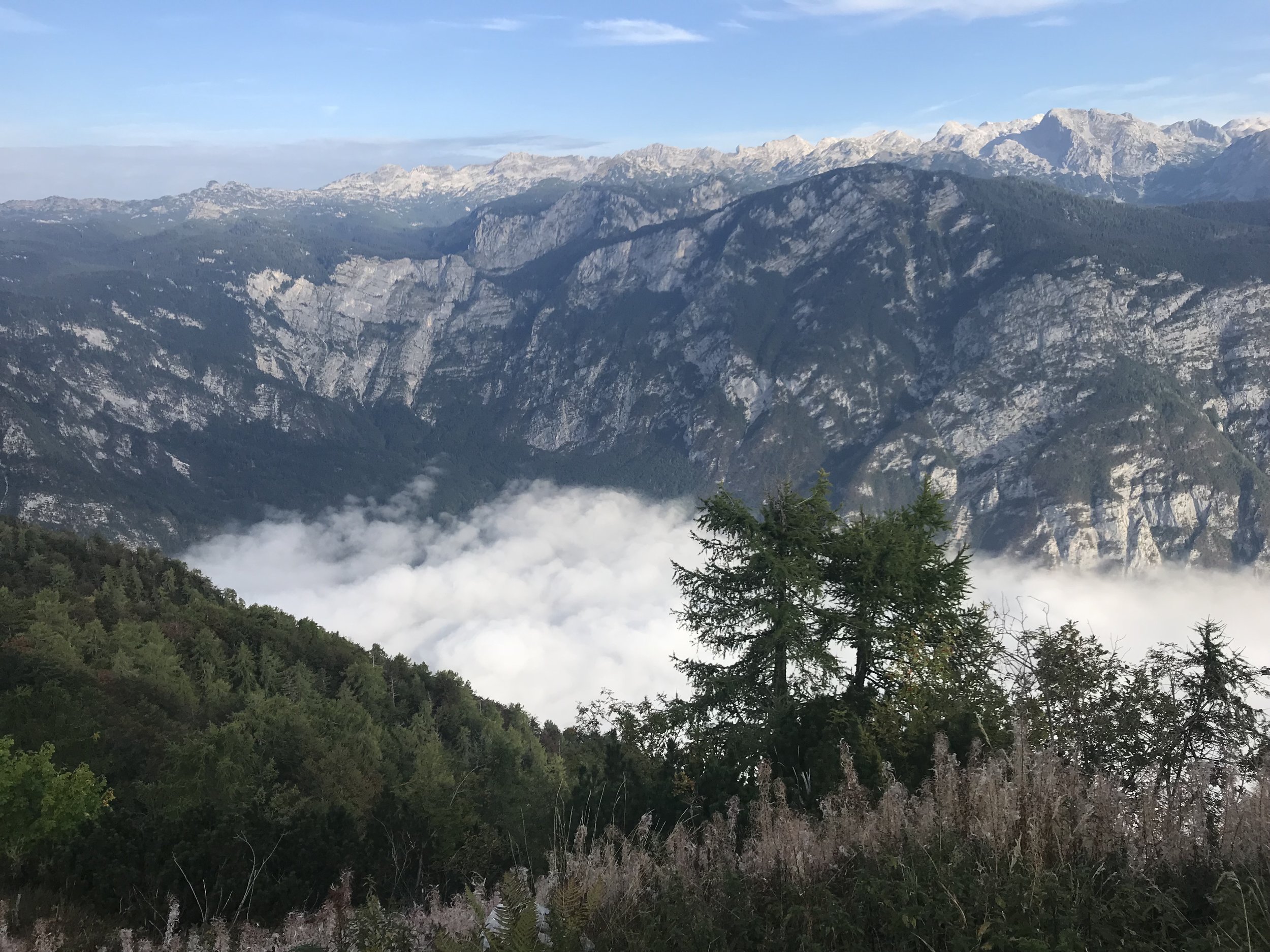
We got on the chairlift and made our way to the upper station. It was just before 9am, and the fog was still quite thick over the lake and through the valley, but the views were really cool!
After the short chairlift ride we found ourselves quite high up, but we still had quite a bit of climbing to do. There is a third lift, the Šija chairlift, to take you right under Šija peak. However, this was not operational at the time of our hike so we had to hike our way up. This section starts out as a transport road but after a short time you reach an intersection and head right where it transitions to a nice footpath. It feels more like a hike than the pathway we saw under the second chairlift. There is clearly labelled signage so it was easy to stay on track and follow the signs for Vogel and Rodica. We kept following the path and found ourselves at an intersection after almost 1.2 km. We knew we had to make it to the top of the chairlift, so we kept following the chairlift line and took the footpath to the left. At this point the path kind of disappears, and you need to head up the front of the ski slope. It is a very steep climb up to the end of the chairlift line. Most of the path up to this point has a steady incline up the mountainside, however this last 100m on the ski slope is very steep as you make your final accent to the top of the chairlift.
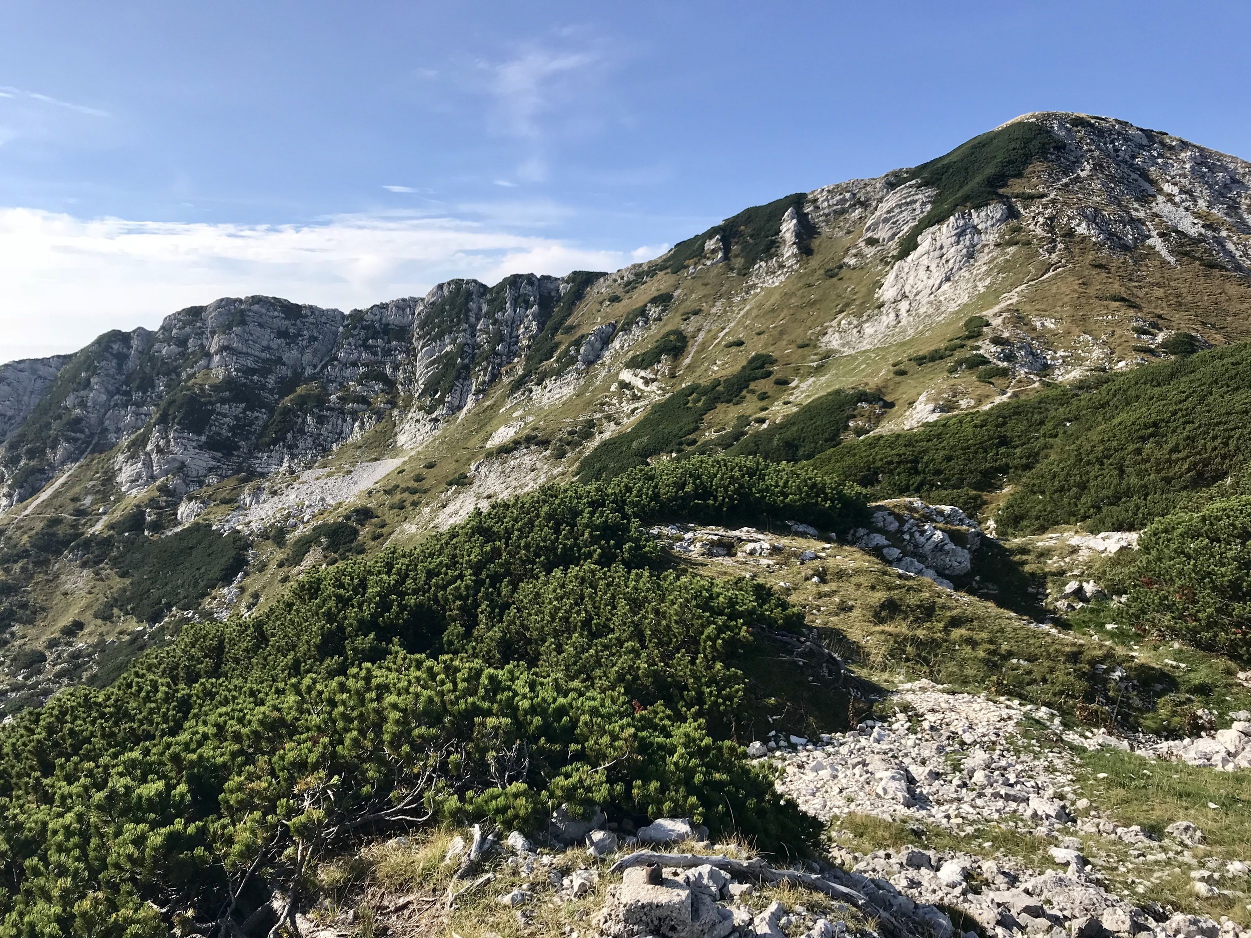
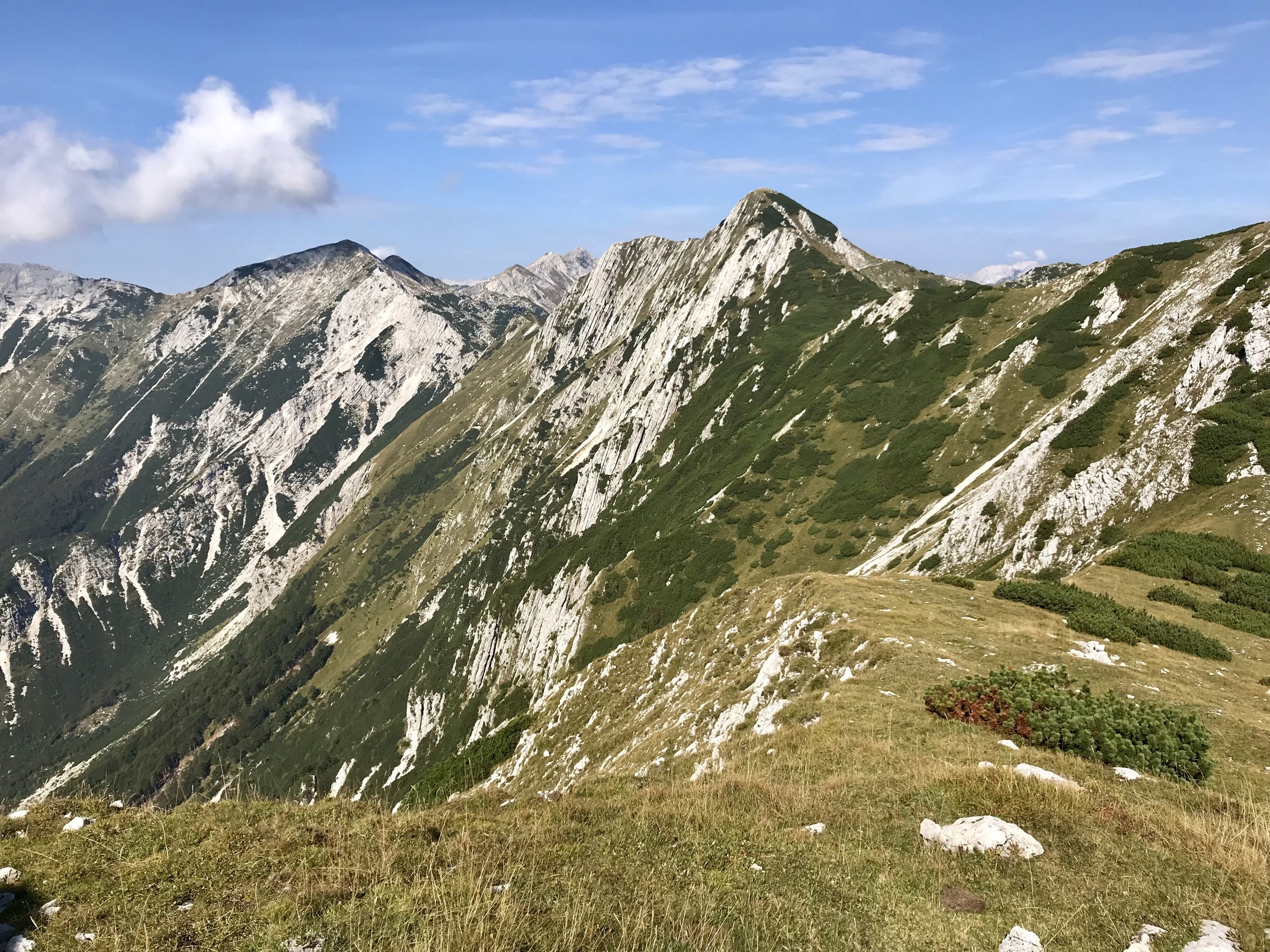
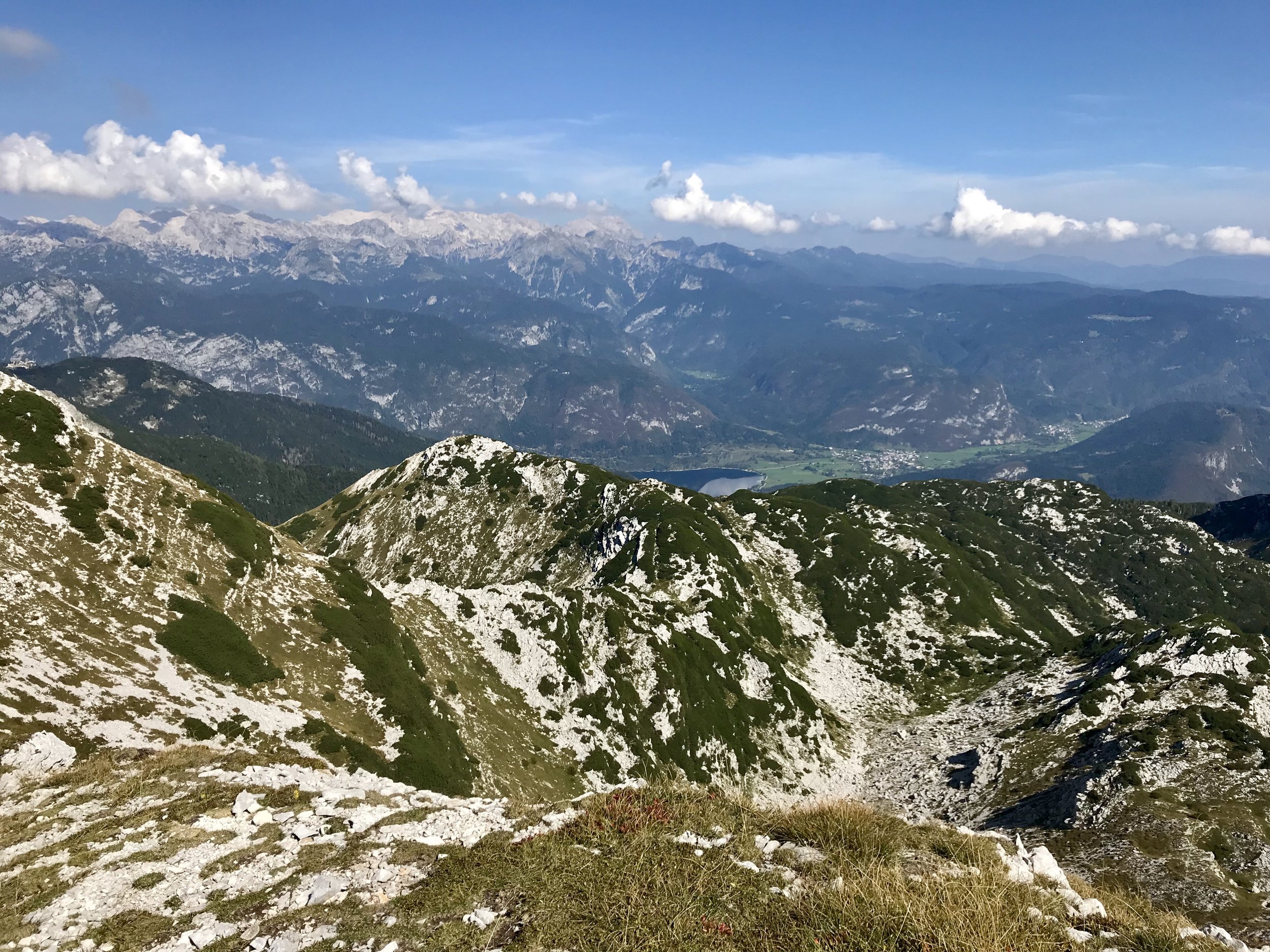
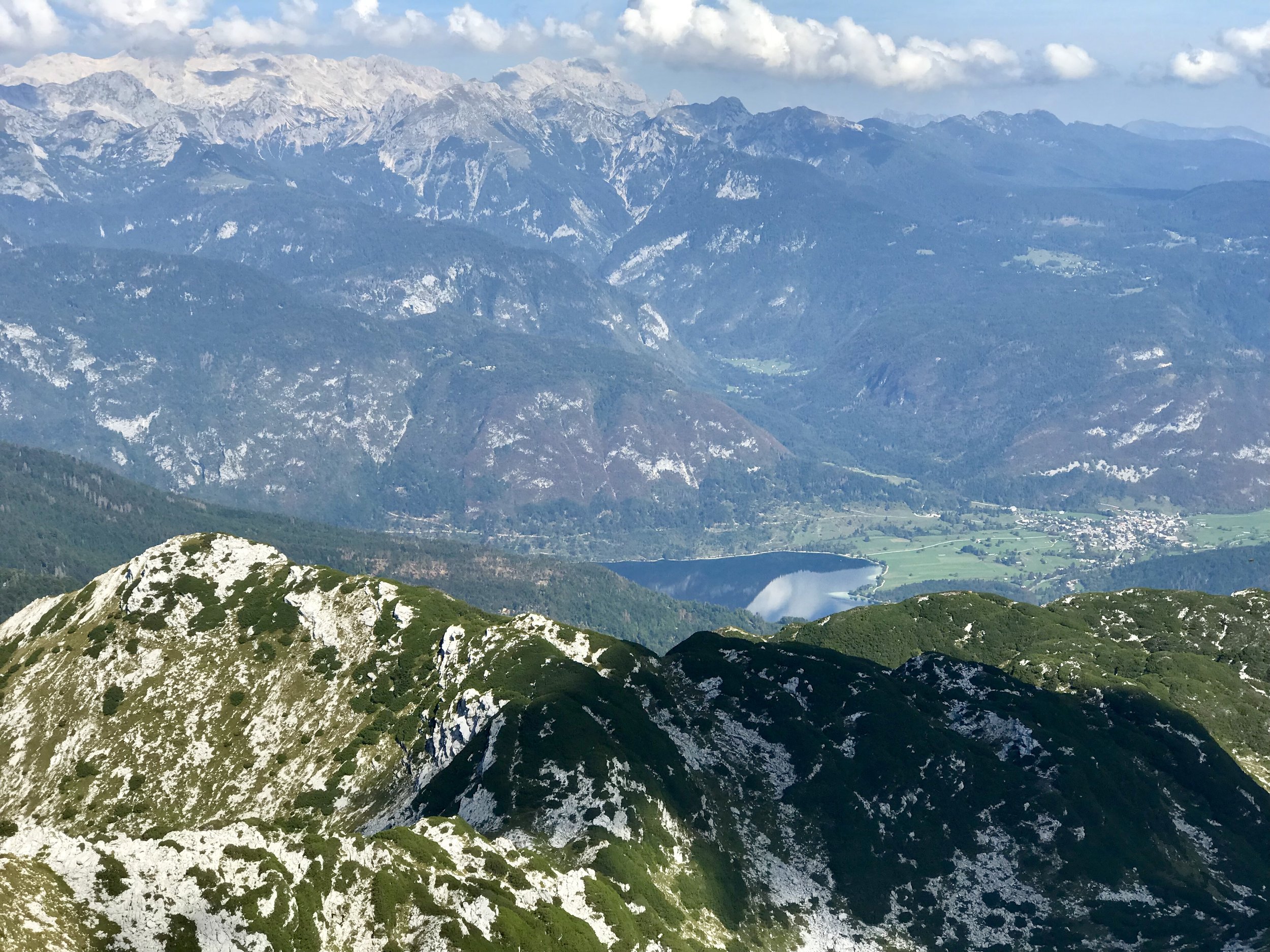
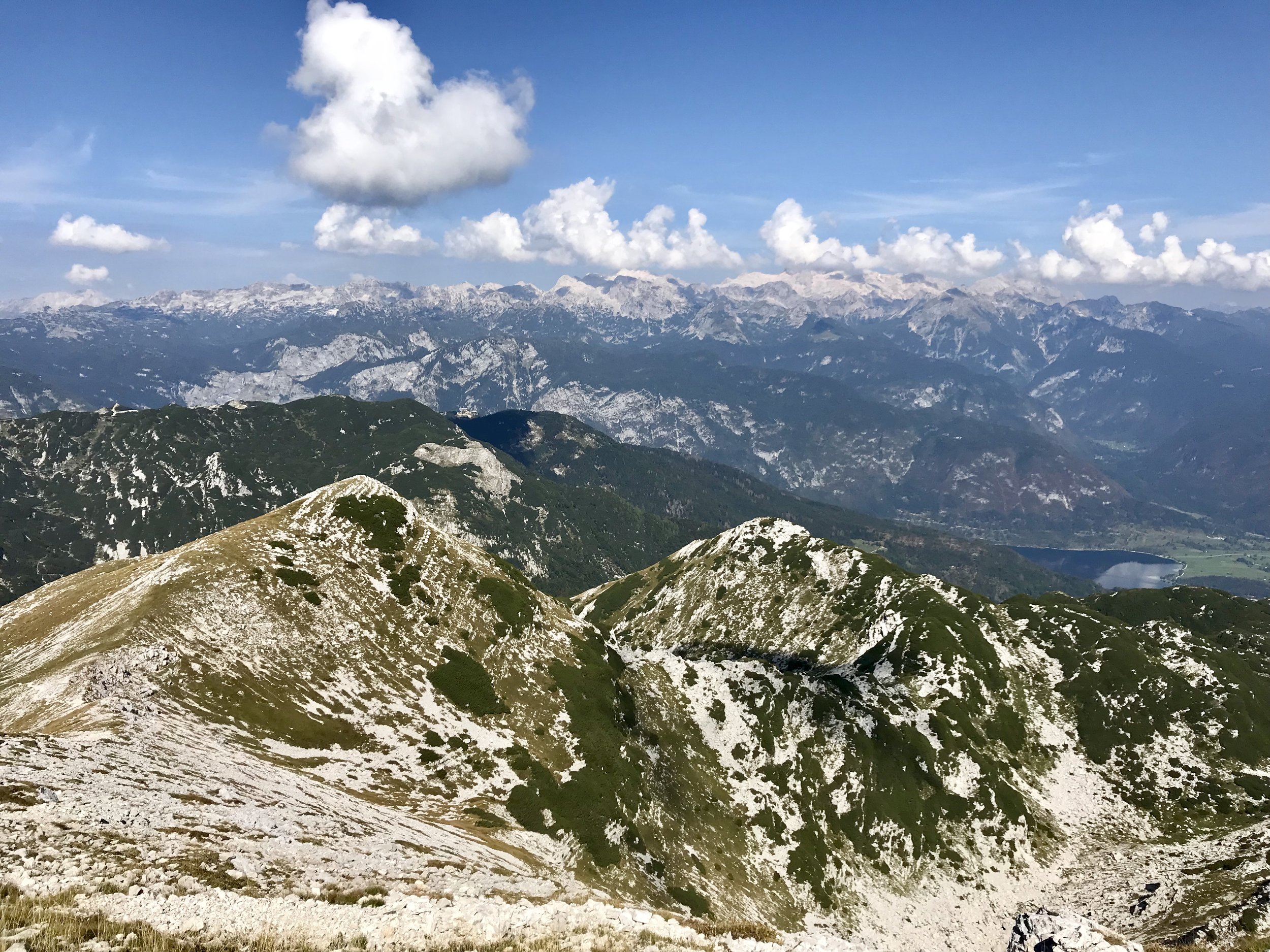
We were happy to make it to the top of the chairlift, and it was a great place to check out the views. With our backs towards Lake Bohinj, we could look to the left and see Mount Rodica’s peak, as well as the pathway that would take us there. The peak looked quite far away! Mount Rodica has a pyramid shape with a very large crater-type hole below the peak.


The top of this third lift is where a few hikes split of into different directions. They all follow a pathway right behind the chairlift for a few hundred meters before coming to an intersection below the accent to Šija peak. When we reached the intersection, we followed the sign for Rodica and headed left.

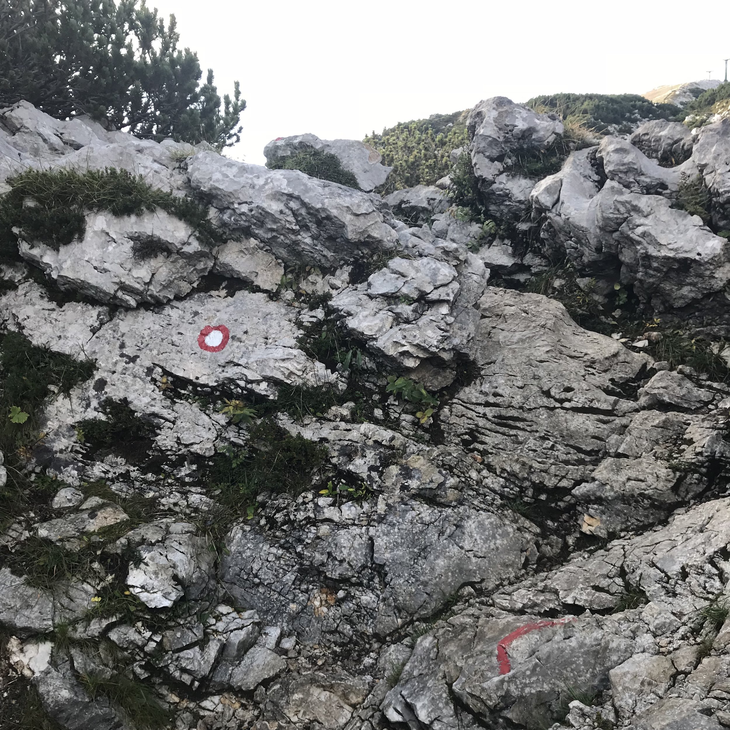
The path is relatively flat, with only a few hilly sections. There is one section where you need to climb over a few rocks and the path is difficult to see so it’s important to exercise caution. There are a couple of portions where the path is hard to distinguish from random paths, so it is a good idea to keep your head up so you can see where the path is headed!
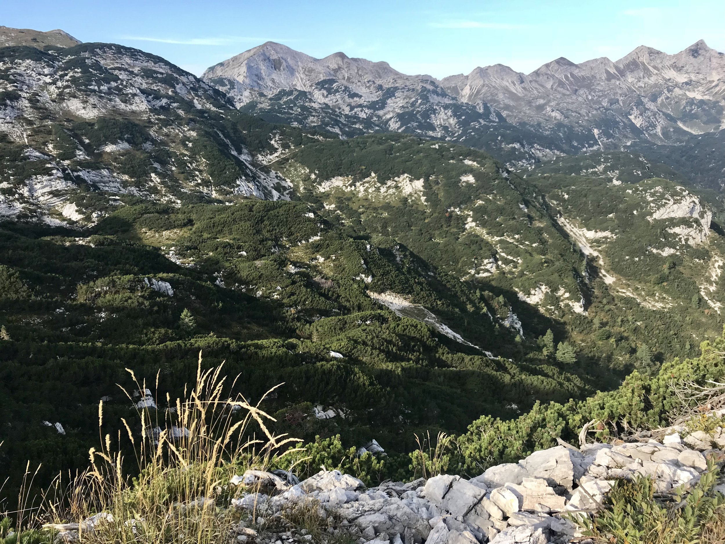
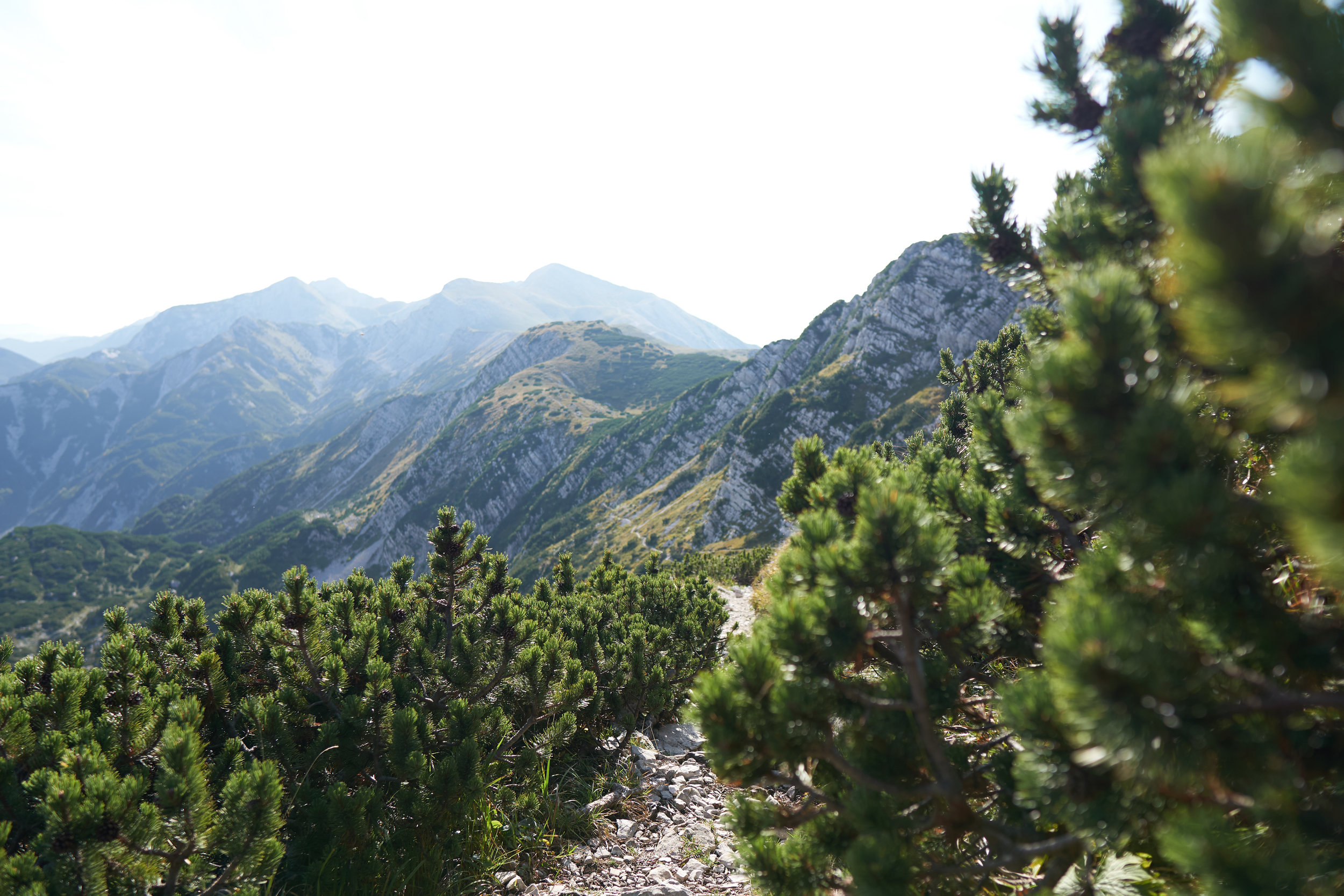
Another section that requires some caution is about halfway along the hike when you encounter some pine scrubs. The scrubs vary between knee and shoulder height, and are quite sharp. If you are wearing shorts, they can scratch your legs up quite a bit! It is also easy to lose the path. We tried to avoid the scrubs in one area, and got stuck climbing along the edge of the ridge that was a little scary to climb around. But the views were fantastic! We took quite a few breaks here so that we could take in the gorgeous views on both sides of the ridge.
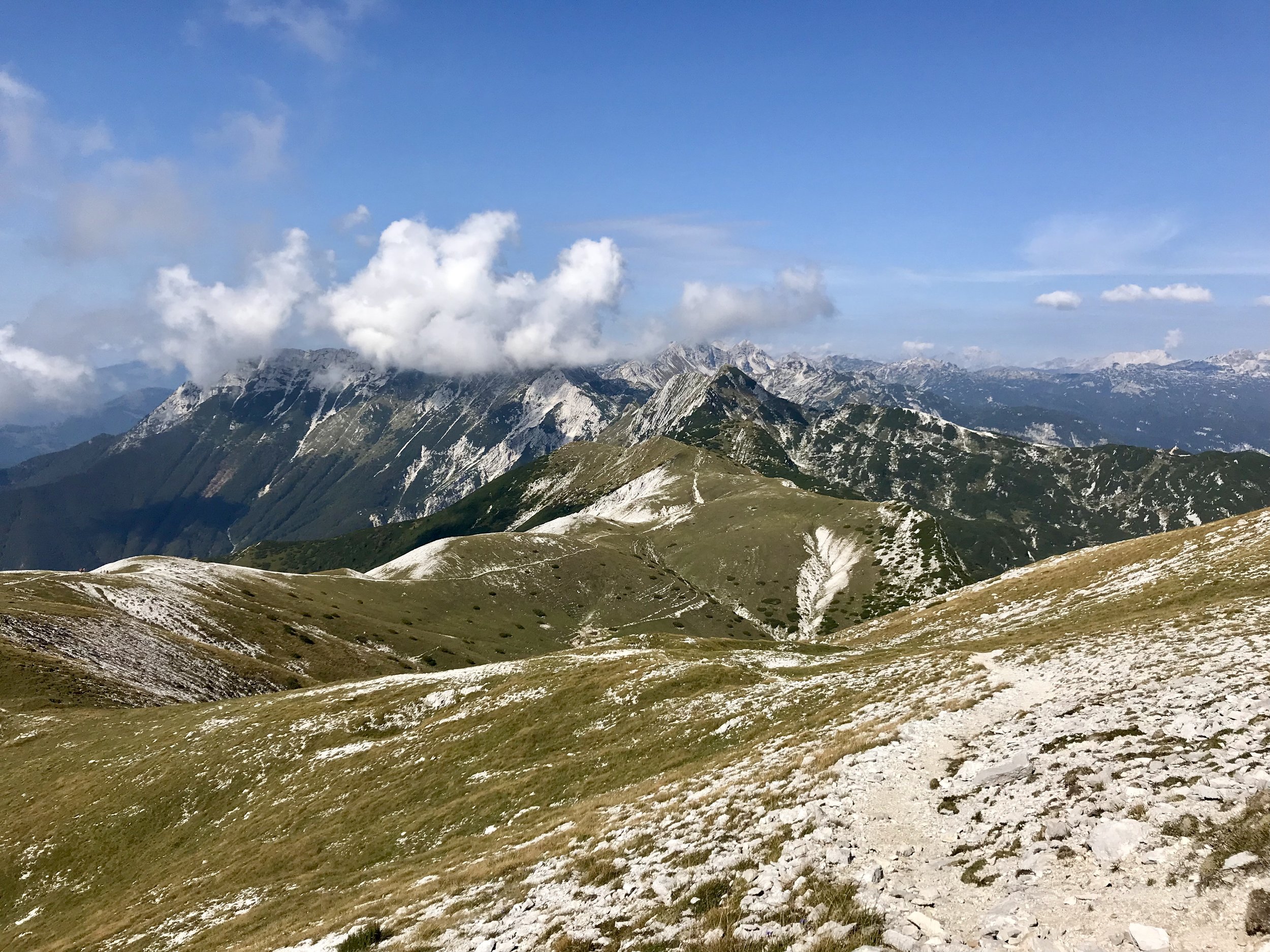
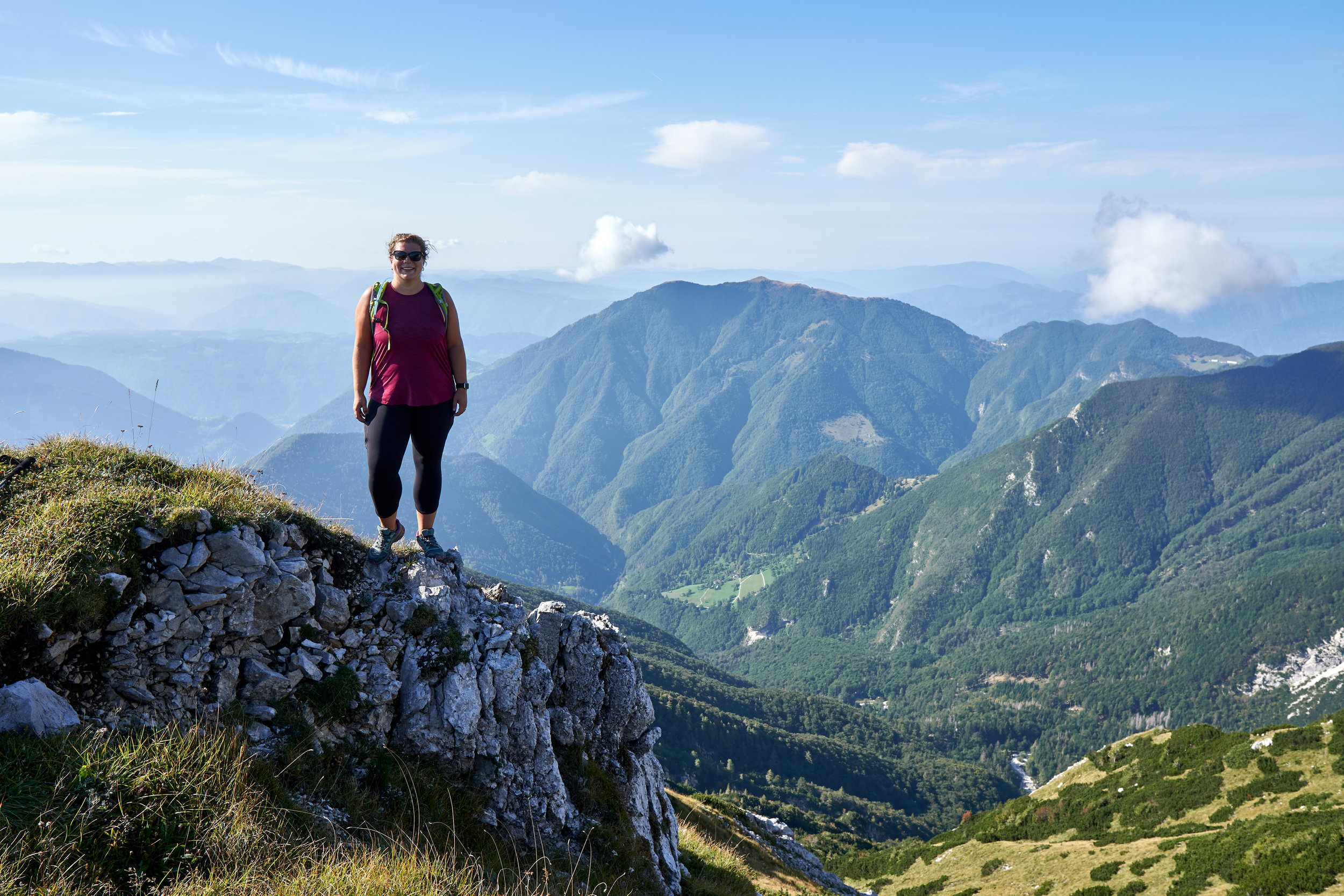
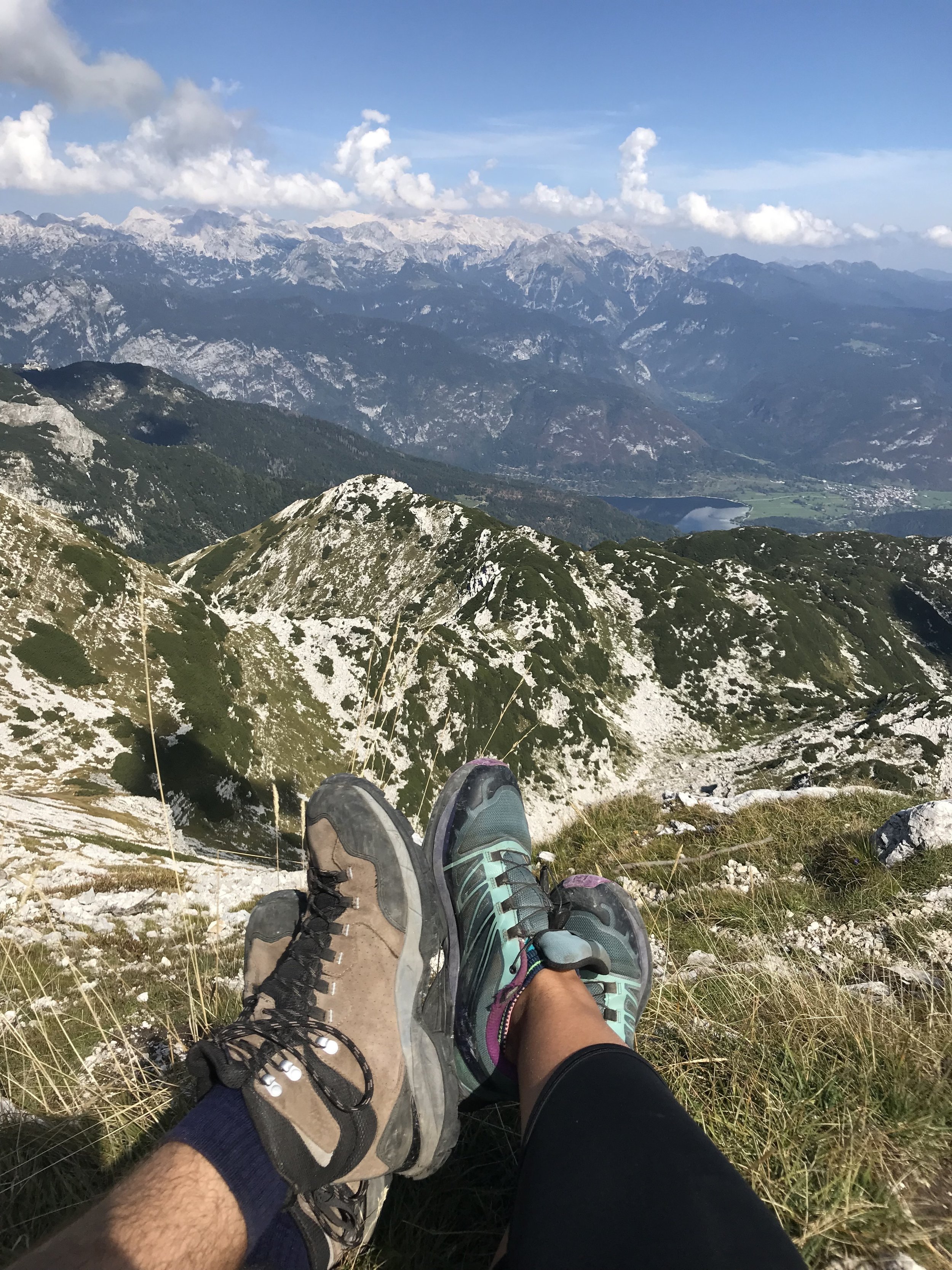
It didn’t take long before we reached the base of Mount Rodica’s peak. From the base of the summit it looks like a HUGE climb, but it’s only about 400m. You can hike up either side of the peak. We chose the left side because it looked like the most direct route, and we were eager to make it to the top. Because the left side was more direct, it was also steeper and a bit more challenging. But we made it to the top and were rewarded with amazing views of the mountain range and Lake Bohinj.
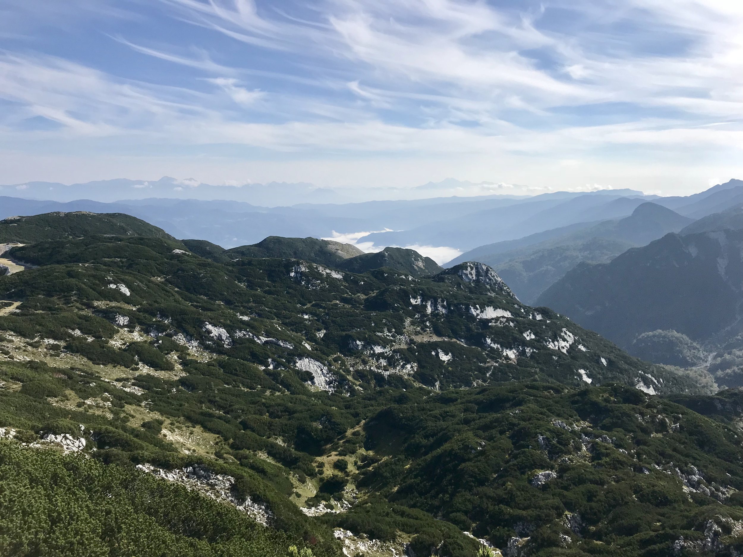
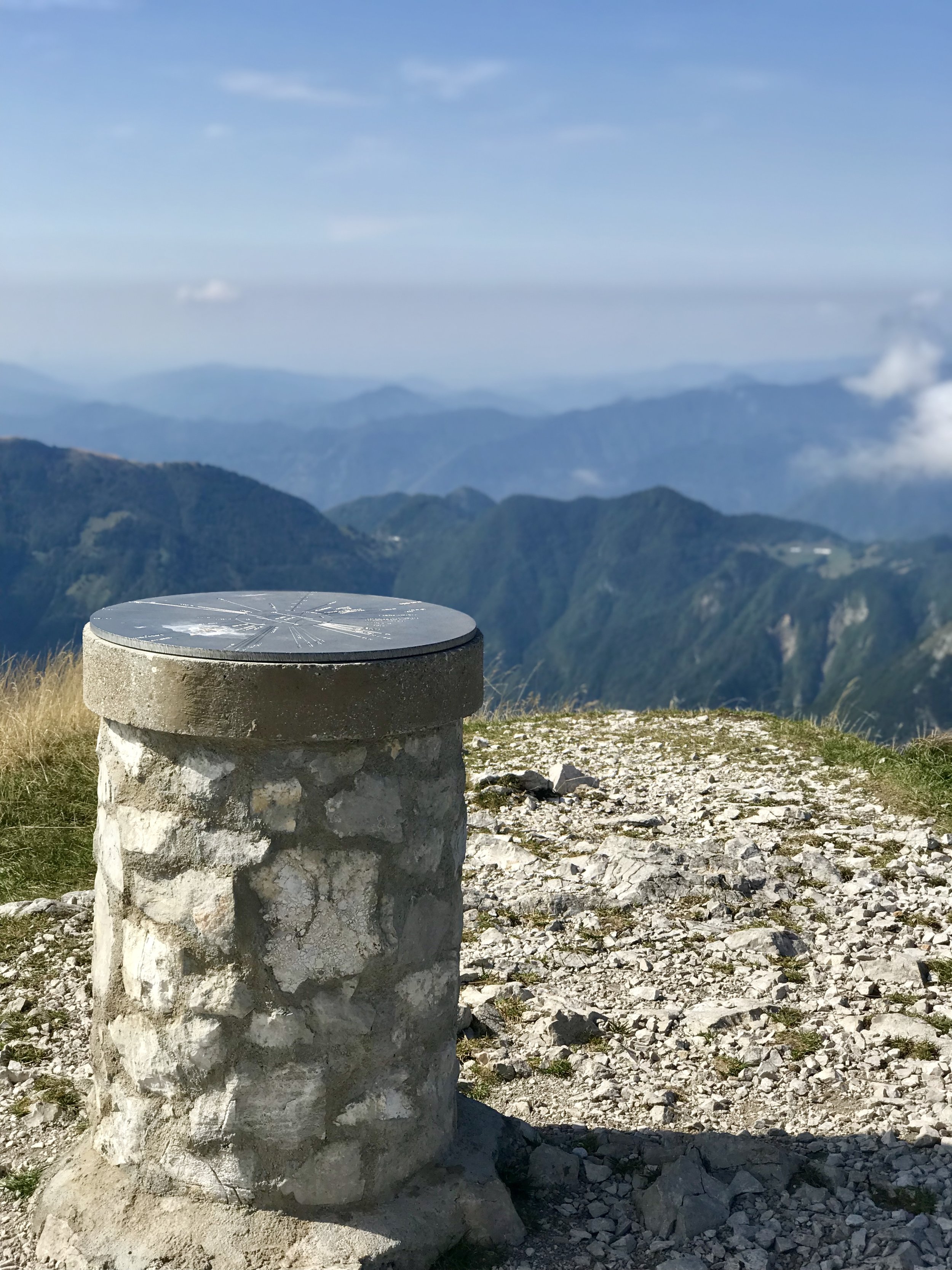
At the top we sat down, enjoyed our lunch, and took in the views. There is a metal plaque that outlines the nearby mountains, their distance, and their height. On a clear day you are able to see all the way to the Adriatic Sea, but we still had some fog and quite a bit of clouds so we were just happy to see miles and miles of mountains.
After about 45 minutes we packed up our lunch and started the trek back. We decided to head down the other side so we could complete the whole loop around the summit. It took longer on the way down, but it wasn’t as steep as the path we took to up to the peak, so our knees and toes were happy about that!

This section is the only part of the hike that is a loop. Once we reached the bottom of the summit, we followed the same path back all the way to the chairlifts. The last stretch below the accent to Šija peak is the steepest, but it looks worse than it actually is to climb up.

Once we made it to that initial intersection, we decided to take an alternate route to the base of the Šija chairlift. Instead of heading up the hill to the top of the chairlift, we went on a pathway to the left just before the hill. This route took us around the hill so we avoided the climb up and the steep descend down the ski hill section. Had we noticed the pathway before, we may have taken it on the way up, but it was nice to see both routes.

It didn’t take long before we made it to the second chairlift. We planned to grab a quite snack and a beverage at the chairlift café, however it had just closed because the chairlift was about to stop operating. On that day the chairlift stopped operating at 3:00pm. Fortunately it was only 2:45 when we got there, so we lucked out and took the chairlift back down to the Vogel Ski Hotel. It wouldn’t have been so bad if we missed it, as the pathway below is basically a road and an easy descent. It just wouldn’t have been the most scenic walk and we really enjoy taking chairlifts!
At the Vogel Ski Hotel we took some time to see the views now that the fog had cleared. We were lucky to spend close to 25 minutes on the cable car platform by ourselves. We tried to catch a car but it was too full so we waited outside for the next one – not too sure if you are allowed doing that, but no one came to get us as we enjoyed the views! It was the perfect way to end our hiking day.

We really enjoyed this hike. We were treated to amazing views the whole time, and the trails were well labeled the entire hike. We ran into a couple of people but for the most part it was a quiet trail, which is always a treat. It was our first time hiking in the Julian Alps, and we were so happy we did this while staying in Bled. It was the perfect way to get out into the mountains and enjoy the beautiful Slovenian scenery.


